

Category: Information
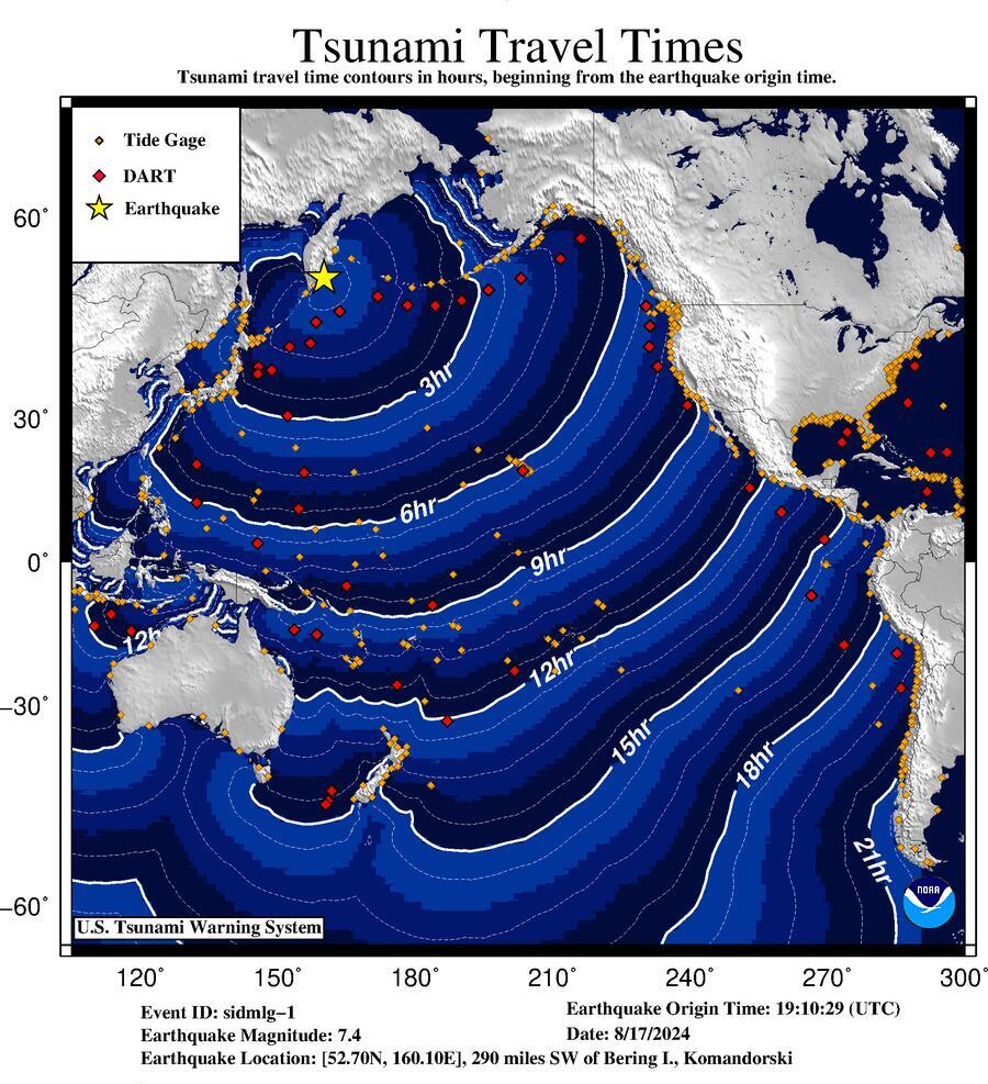
Bulletin Issue Time: 2024.08.17 19:20:02 UTC
Preliminary Magnitude: 7.4(Mwp)
Lat/Lon: 52.700 / 160.100
Affected Region: 290 miles SW of Bering I., Komandorski
Note: * There is no tsunami danger for the U.S. West Coast, British Columbia, or Alaska. * Based on earthquake information and historic tsunami records, the earthquake is not expected to generate a tsunami.
Definition: An information statement indicates that an earthquake has occurred, but does not pose a tsunami threat, or that a tsunami warning, advisory, or watch has been issued for another section of the ocean. View bulletin